.png)

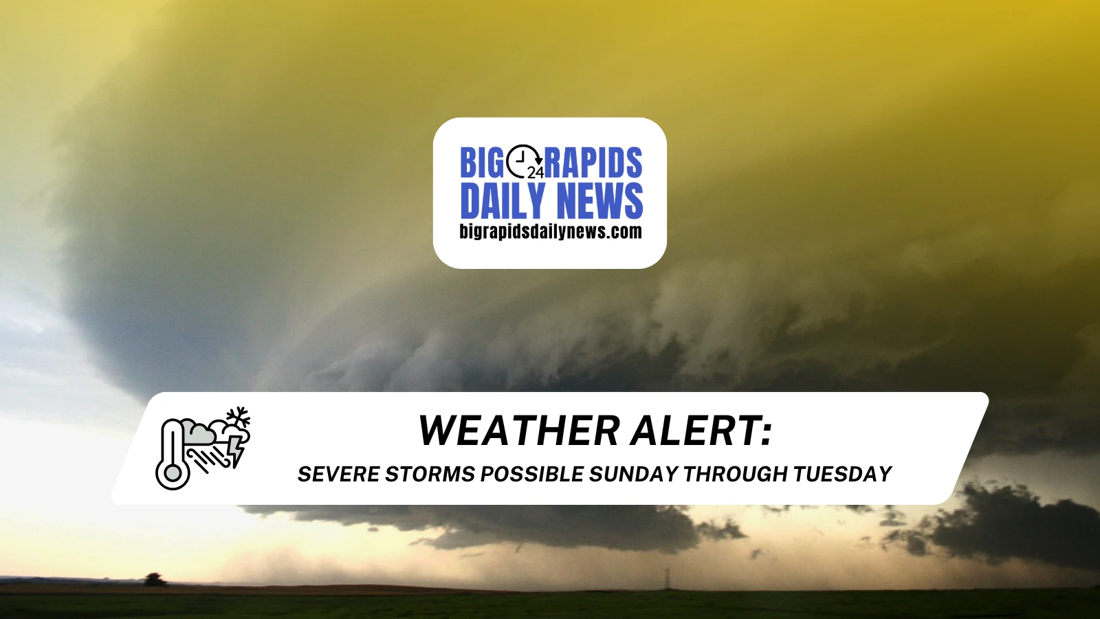
The Storm Prediction Center has placed parts of west-central Michigan under a three-day severe weather risk. Here is a day-by-day breakdown of what's being forecasted:
SUNDAY - MAY 17
A leftover weather system from the Central Plains is expected to drift northeast toward the Great Lakes region, where it will interact with an incoming warm front. Elevated instability and wind shear could support supercells. Storms are expected to develop between 3 p.m. and 10 p.m.
The SPC has upgraded areas across the Lower Peninsula north of I-96 (near Grand Rapids) and south of M-55 (near Roscommon) to a Slight risk (level 2 of 5). Hail is the primary threat, but the chance of an isolated tornado or two has increased significantly over the past 24 hours.
- Damaging winds: 15% to 29% (NWS)
- Large hail: 15% to 29% (NWS)
- Tornadoes: 5% to 9% (NWS)
- A map of possible areas for a tornado can be found here: MICHIGAN STORM CHASERS TORNADO INDEX
MONDAY - MAY 18
Monday’s storms have been highlighted in forecasts for more than a week because of the strength of the system to the southwest. While a major tornado threat exists in Kansas and Nebraska, leftover storms could affect the Michigan corridor in the morning and afternoon. Computer models have consistently shown a broken, or scattered, line of storms. Exact timing of the system's arrival remains unclear.
The SPC has upgraded areas in the Lower Peninsula west of the I-75 corridor (near Flint) to a Slight risk (level 2 of 5). Damaging winds and hail will be the main threats later in the afternoon toward Lake Michigan, though a small tornado risk will exist.
- Damaging winds: 15% to 29% (NWS)
- Large hail: 5% to 14% (NWS)
- Tornadoes: 2% to 4% (NWS)
TUESDAY - MAY 19
The setup for Tuesday will largely depend on storm development Sunday and Monday, but a severe risk will exist between 10 a.m. and 10 p.m. Thunderstorms may redevelop along an incoming cold front, creating an atomosphere for thunderstorm development.
The SPC has upgraded areas in the Lower Peninsula east and south of the M-31 corridor (near Traverse City) to a Slight risk (level 2 of 5). Large hail and damaging winds will have increased chances. The tornado risk will be minimal, but not zero.
- Damaging winds: 15% to 29% (NWS)
- Large hail: 15% to 29% (NWS)
- Tornadoes: Unclear at this time (NWS)
Hourly WeatherEye forecasts can be heard at the top of the hour on WBRN via 96.5 FM, 1460 AM, WBRN.com and the WBRN mobile app. For more on the forecast, visit https://bigrapidsdailynews.com/forecast.
Tornado index image credit to Michigan Storm Chasers.


.png)
.png)
.png)